StraitSingapore Strait: The City in Front of a CityMartin García and Magnus Nickl
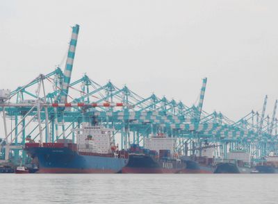
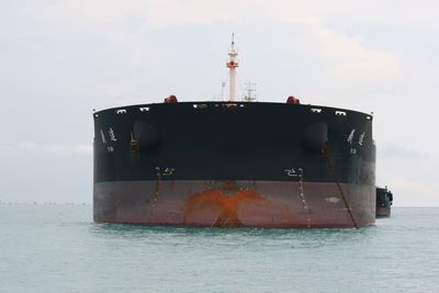
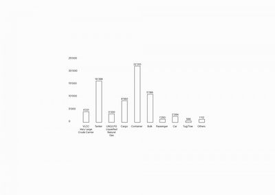
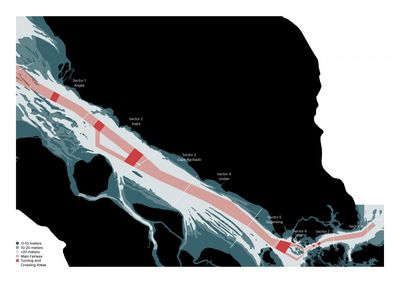
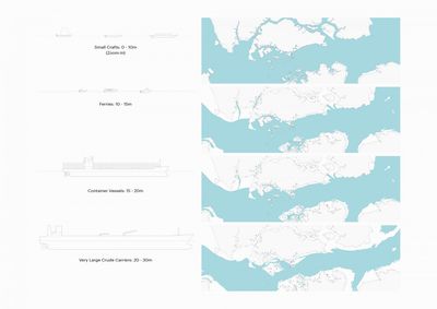
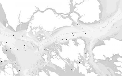
The Singapore Strait (Selat Singapura in Malay) is a 105 kilometres long and 6 kilometres wide sea passage linking to the Straits of Malacca in the West and the South China Sea in the East. The Singapore Strait is the most constricted and shallow part of the Malacca Straits, and one of the most strategic global shipping routes, next to the Suez and the Panama Canals. The strategic importance of the Malacca and the Singapore Straits is enormous. More than 50,000 vessels pass through the Strait each year, carrying around one quarter of the worlds traded goods, including oil travelling to China from the middle East, Chinese manufactured goods and Indonesian coffee. Experts recognise that if the Straits were to close for just a few days, there would be a major impact on the global economy and the European economy would be paralysed within a few weeks.
The maritime trade along the Straits has a long history, as it has been part of the Maritime Silk Route linking the Mediterranean basin, the Indian Ocean and the Pacific Ocean. From the early fifteenth to the early nineteenth century, the port of Malacca dominated the Straits when its role gradually diminished after the founding of Singapore in 1819. The Straits have not only brought exotic goods and trading opportunities to the region, but also new populations, cultures and religions. As a kind of a middle point between India and China, the Singapore region includes people of Chinese, Malay, and Indian descents, from Muslim, Buddhist and Hindu religions.
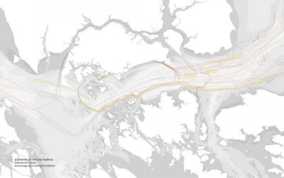
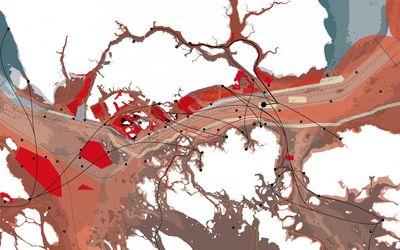
The Singapore Straits is maintained and managed by three countries, each responsible for providing security, ensuring safety and protecting the environment. The independence of Singapore in 1965 was followed by its economic rise as one of the world’s busiest ports, leading to the region’s growing economic asymmetry. At the same time, political relationships among the three countries have remained strained and difficult; for example several border disputes along the Straits still remain unresolved. As a result of these complex influences, the space of the Straits is remarkably complex and intricate too; it is highly regulated, criss-crossed by hard borders, and fragmented into various restricted zones. The Indonesia-Singapore border lies along the Straits, thus the busiest shipping route overlaps with a national border, and cross traffic of people and goods from one country to another constantly interferes with the through traffic of international shipping. By contrast, the space of the Straits has been much more open for local travel in the past and the fragmentation is a novel and arguably a strengthening phenomenon.
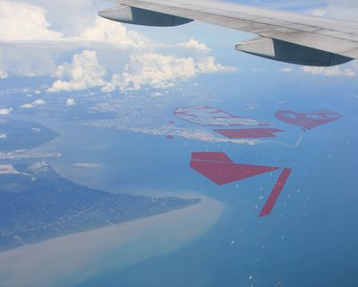
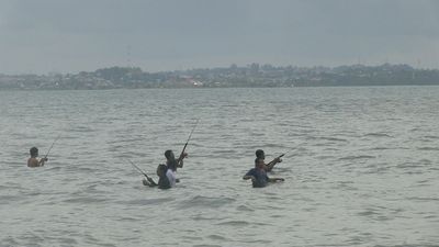
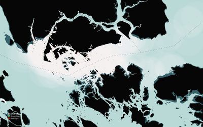
The Straits is also a microcosm of local activities, where next to ports, shipyards, and bunkering stations (fuel stations for ships), one finds petroleum, sand and stone extraction sites, waste disposal sites and military installations as well as tourist resorts, heritage locations and uninhabited islands covered by mangrove forests. In the past, the area was notorious for piracy. Today, this is also an area where the strict national laws in Muslim countries (against gambling and drinking in particular), are diluted in the free zone provided by the Singaporean waters. This complex territory can be described as a layering of three different spatial logics: the territory of global shipping, the borderland territory, and the urban territory. The study maps and describes each layer and its main characteristics.
