SandConstruction of Territory: Singapore's Expansion Into the SeaLino Moser and Gabriela Schär
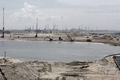
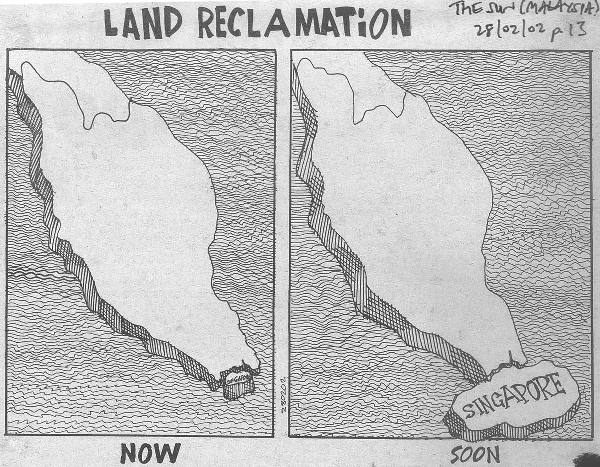
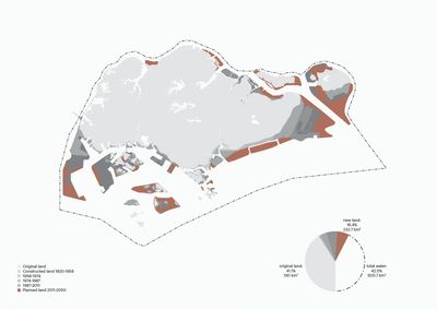
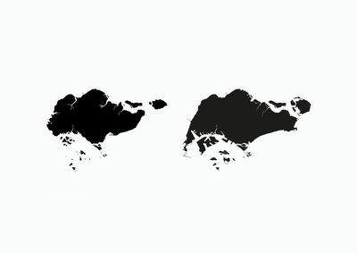
The reclamation of land is a long-standing practice in Singapore that had its first imprints in the island’s coastline in the 1820s, during the colonial period. Efforts to reclaim land have increased significantly since Singapore’s independence in 1965; the land area of Singapore has grown from 581 square kilometres in 1957 to 775 square kilometres today, adding 25 per cent to the original land area. For 2030, a goal to create an additional 100 square kilometres land has already been set by the government.
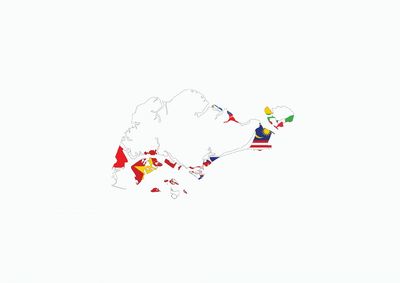
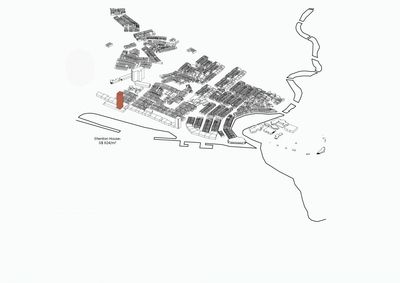
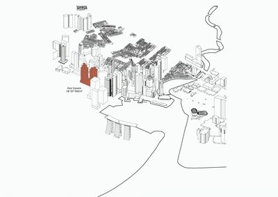
The urban use of the reclaimed areas is extremely diverse. Large expanses of reclaimed industrial lands are located in Jurong; in the downtown, the most central business and commercial areas were reclaimed, too. Strategic infrastructures and facilities, such as large parts of the Port, the Changi Airport and the military zone of Pulau Tekong are constructed on new land. Finally, land reclamation is also a tool for increasing the population density: along the East coast, housing and recreation areas are built on a wide strip of land, which did not exist before.
In the past, the common strategy for providing material for the new land was the levelling of terrain in Singapore’s inland areas. This strategy, known as the ‘cut and fill’ contributed to a complete, tri-dimensional transformation of Singapore’s topography: in order for new land to be built, the old land had to be demolished and rebuilt as well. In the process, many coastal villages and mangroves have vanished. While the radical treatment of Singapore’s urban surface presented an almost magical mechanism for generating wealth ‘out of nothing’, the island and the city have been flattened into places without history.
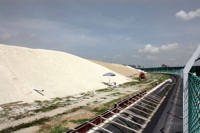
An important feature of the land reclamation process is that over time, it becomes technically more difficult, more costly and requires more and more sand. The older reclamation projects were carried out in the zone in the coastal zones with depths between 5 to 10 meters, but as the coastline keeps moving further and further into deeper waters, going to zones with the depth of 15 meters or more is now required. Singapore has not been able to meet its needs for sand and therefore imports from other countries in the region. Malaysia, Cambodia and Vietnam have been topping the list of exporters to Singapore are with 3.8 to 5.8 million tons (in 2008).
Overshadowing Singapore’s reputation as the single biggest importer of sand in the world are the detrimental aspects of sand trade. Due to environmental and political impacts of vanishing lands, nearly all countries in the region with the exception of Myanmar and China have placed official bans on sand trade with Singapore. In spite of this, the trade seems to continue in an informal manner, with a silent approval by local governments and authorities, helped by corruption.
The main protagonists of land reclamation projects in Singapore are state agencies, in particular the Housing Development Board (HDB), the Port of Singapore Authority (PSA), and the Jurong Town Corporation (JTC): the state is the designer and the creator of its new territories. The production of the new land is a necessity in view of the high population density and the limited surface for growth. The newly built land on prime locations generates high revenues; the production of land is one of the most lucrative businesses for the entrepreneurial state. As long as the territorial boundaries are not violated, despite all the misgivings, Singapore will continue to rely on land reclamation for an ongoing reinvention of its urban environment and for the creation of wealth.
The goal of the work was to investigate and describe the phenomena of sand trade and land reclamation in Singapore and the region. The study represents the architectural, urbanistic, economical and cultural characteristics of the artificial landscapes reclaimed from the sea.
