Public SeaSea Urbanism: Towards a Public Sea SpacePanayotis Coucopoulos and Alessio De Gottardi
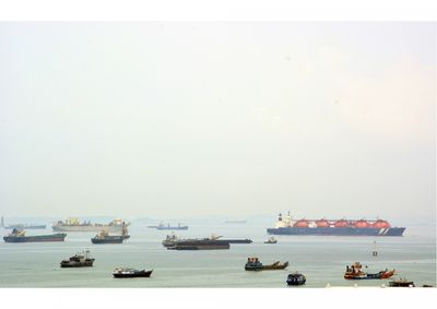
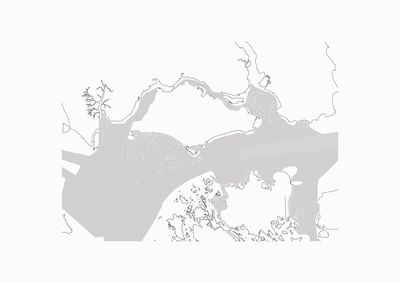
Every year 120,000 vessels pass through the Malacca and the Singapore Straits, carrying one quarter of the world’s cargo and making it one of the busiest shipping routes in the world. The southern end of the Malacca Strait is formed by a tight passage through the Singapore Strait, connecting the Indian Ocean with the South China Sea and the Pacific, and linking the major Asian economies, India, China, Japan and South Korea. The maximum size of a vessel that can make passage through the Strait is referred to as the Malaccamax: bigger vessels have to take a detour through the Lombok Strait, Makassar Strait or other passages through Indonesian archipelago.
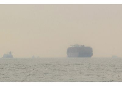
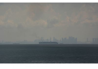
Due to its favourable natural conditions and deep water, the Singapore Strait and the port became one of the most important shipping nodes. At any time, there are about 1,000 vessels within the port limits of the Maritime and Port Authority of Singapore (MPA). This fleet of container ships, oil tankers and cruise ships creates an astonishing density resembling a floating city. Comparing the footprint of buildings in the city parts overlooking the Strait with the footprints of vessels on the water, one begins to read the water and the land as one continuous urban fabric.
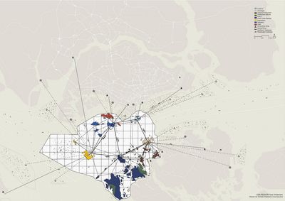
This ‘urban sea’ also forms an autonomous urban territory, with restricted entrance points, designated traffic lanes and crossing routes, highly separated uses and user populations. In order to facilitate the vast amount of traffic, the Singapore Strait is a highly regulated space. In 1971, an agreement took effect between Singapore, Malaysia and Indonesia to coordinate vessel movement in the Malacca and the Singapore Straits. In 1994, this regional cooperation was extended trough the United Nations Convention on the Law of the Sea, granting the ‘right of transit and innocent passage’ to all ships. The passageways are further implemented by the Traffic Separation Scheme, a system of street-like traffic corridors projected onto the water. In order for any foreign vessel to access Singapore’s waters, a pilot, knowledgeable of the conditions of the port, has to enter the boat and navigate its way through the harbour. Arriving ships and boats are parked in designated anchorage zones, or unloaded at ports and jetties. These various zones, their strict regimes of use and highly dense activities, coin the space of the Strait as ‘urban’, and as the paradigmatic image of the phenomenon of urbanisation of the sea.
While the commercial shipping and port activities continue to grow and compete for water surface and coastal access in all three countries in the region, there are also other users at urban sea. Oil tankers, cargo ships and bulk carriers are intermingling with cruise ships and passenger ferries, in total representing an offshore population of roughly 10,000 to 20,000 individuals. The population flows between the sea and land are subject to different logics and protocols of immigration control; the permeability of the sea-land boundary is continuously fine-tuned. While cruise ship terminals offer immigration-on-demand to the arriving tourists, supply boats operate 24-7 to deliver medicine, food and mail to cargo ships who’s crews are generally not allowed to enter foreign territory.
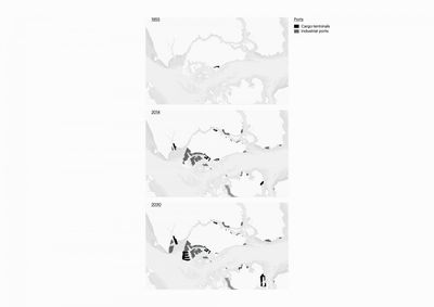
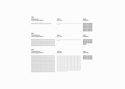
The changing port-city relationship over time transformed urban physiognomies and characters of cities worldwide. The evolution of Singapore’s port was greatly influenced by the remaking of the political geography of the region, as well as technological revolutions. Artist Allan Sekula observed that ‘since technological inventions like steam boats and logistic improvements like the container, the logics of port logistics and cargo handling changed dramatically. The replacement of manual labor by cranes and the deepening of port areas for bigger ships emptied (dehumanized) the port facilities and created logistic hubs along the coast.’ The “containerisation” of the 1960s was a logistic revolution that enabled escalation of cargo shipping in Singapore. Around the same time, with the advent of air travel, line voyages nearly ceased to exist. These influences marked an urban transition from the times when Singapore’s port and the waterfront presented commercial urban cores and most cosmopolitan parts of the city, to the present day when the port and the sea have became largely invisible logistic territories at the periphery of public perception.
A parallel phenomenon with great impact on life by and with the sea was the formation of the maritime national borders that gradually took effect in the region during the 1960s. The combined demands of industry, logistics and globalized trade contributed to their strengthening. Together with industrial and port facilities, national security installations occupy large stretches of the coastline separating the city from the sea. The highly secured and utilized national waters de facto function as an extended borderzone, which stretches from the sea onto the land: the maritime borders in the region have their reflection the land.
The skyline of downtown Singapore and the skyline of vessels in the deep-water echo each other: two distinct worlds, visually connected, virtually cut off. The psychological distance among the three cities, Singapore, Batam and Johor is great; instead of uniting the region, the sea separates.
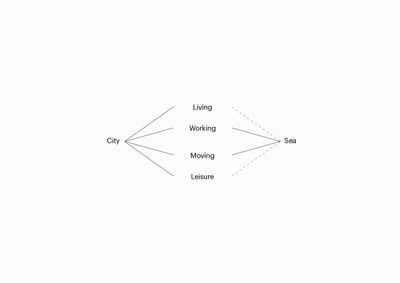
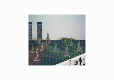
The goal of the project has been to rethink the sea space and the coastlines in the tri-national region, as space that can perform urban public functions; a space of public encounter, business, cultural exchange, leisure, a cosmopolitan space. The sea and the ports in the region used to hold these public functions in the past; the project therefore considers how some of those qualities can be reclaimed in the present.
